DESERTS OF NORTH AMERICA
DEATH VALLEY NATIONAL PARK, CALIFORNIA, USA
- THE LAND OF EXTREMES -
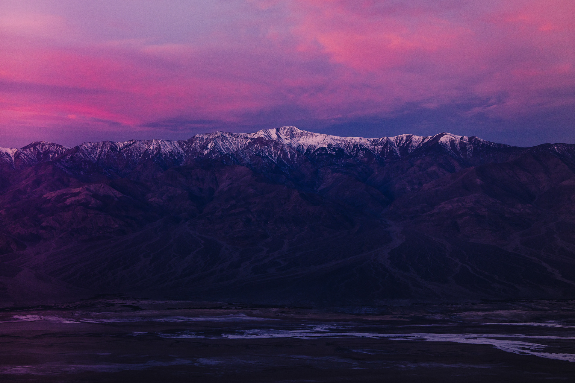
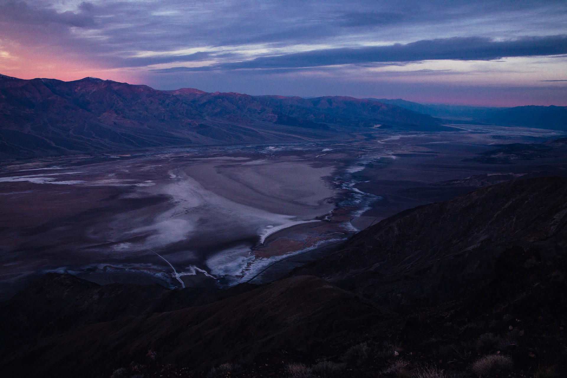
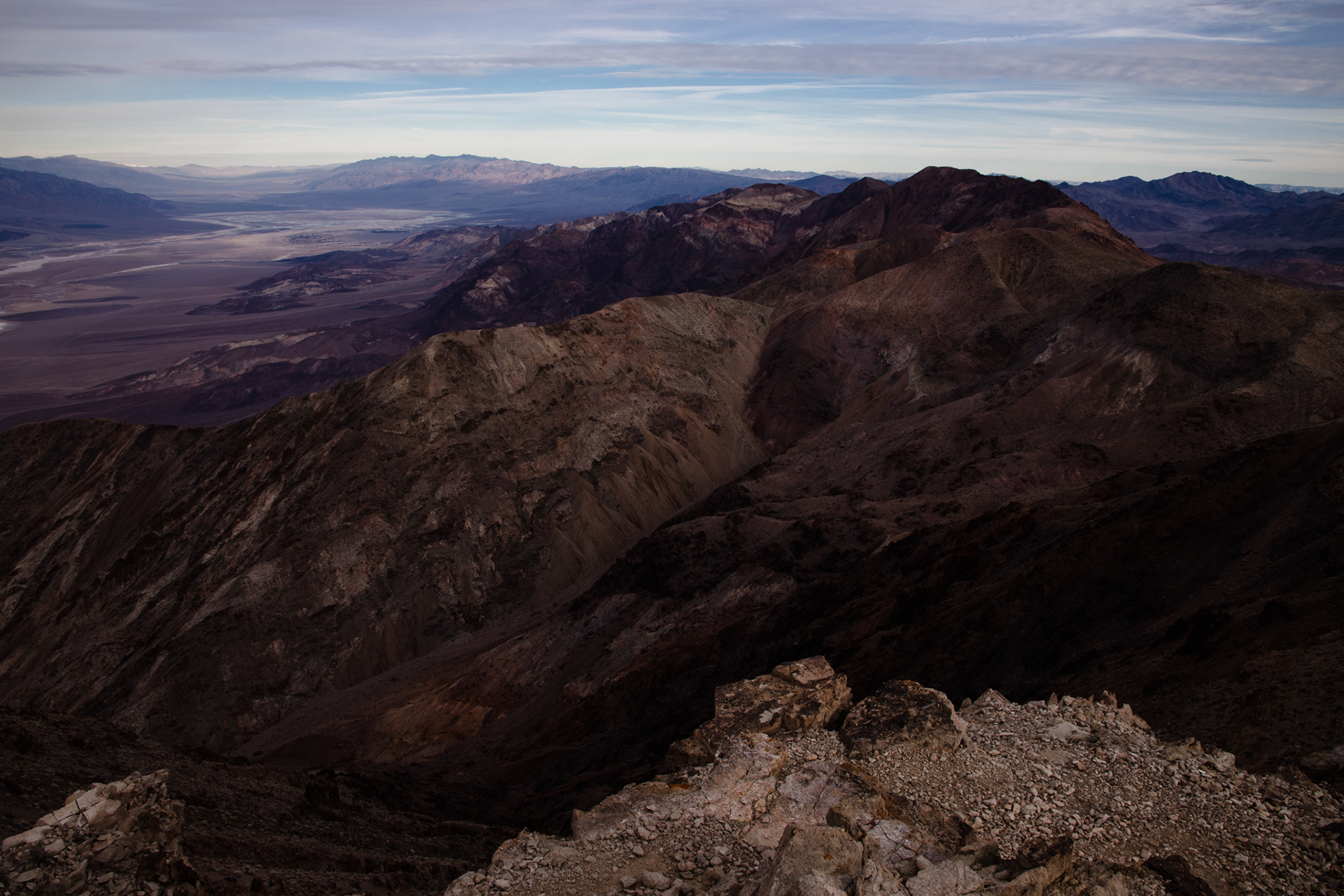
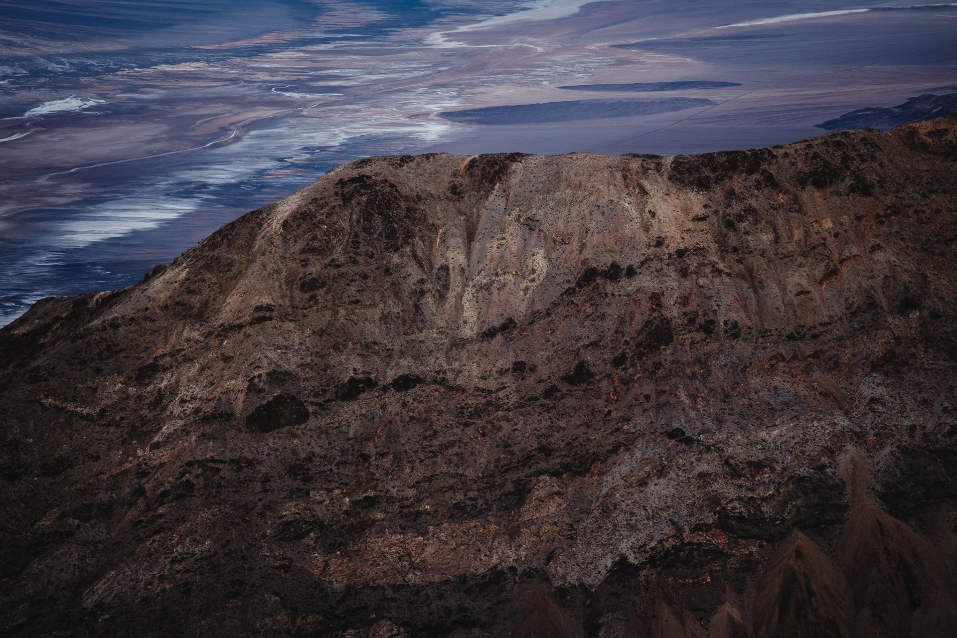
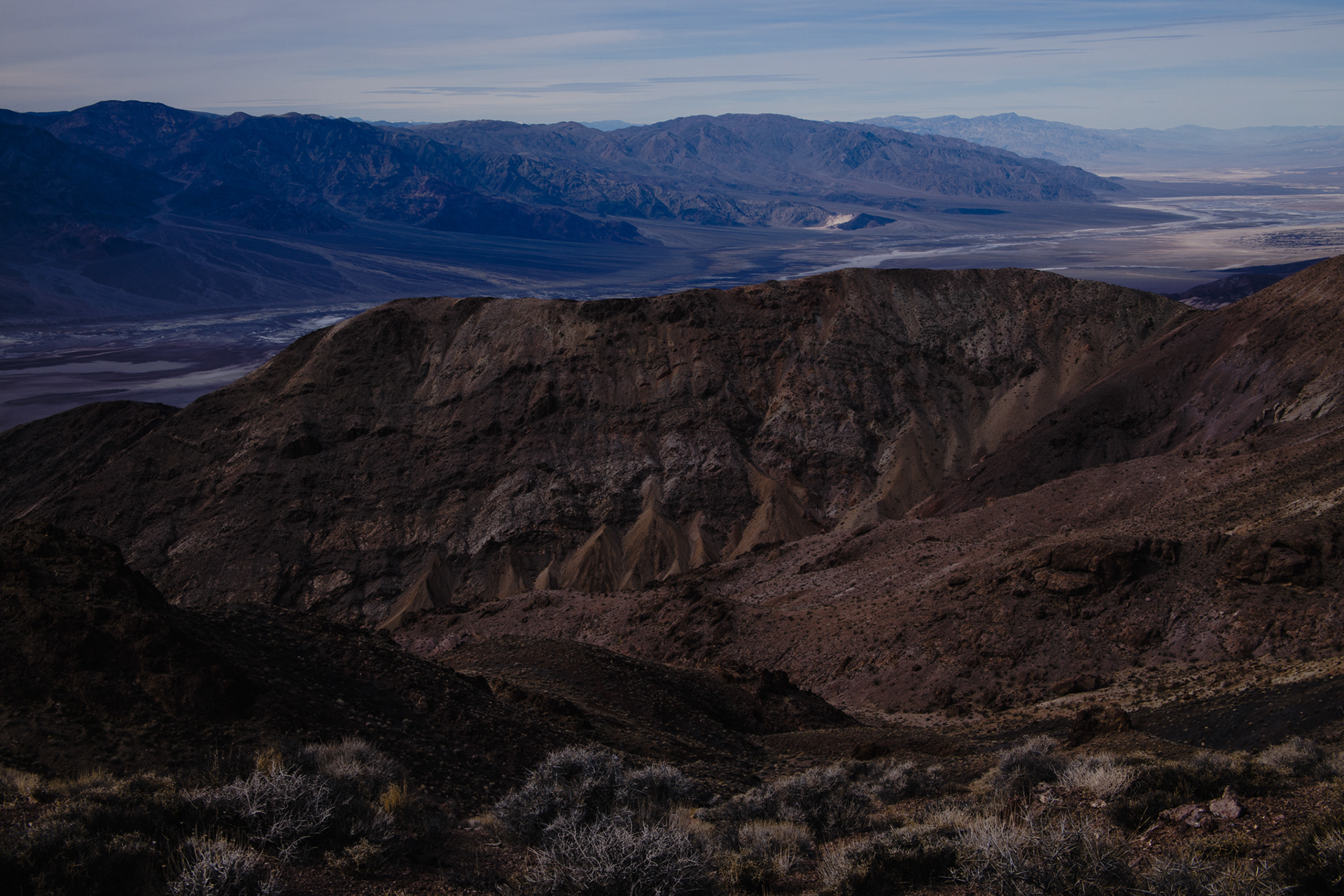
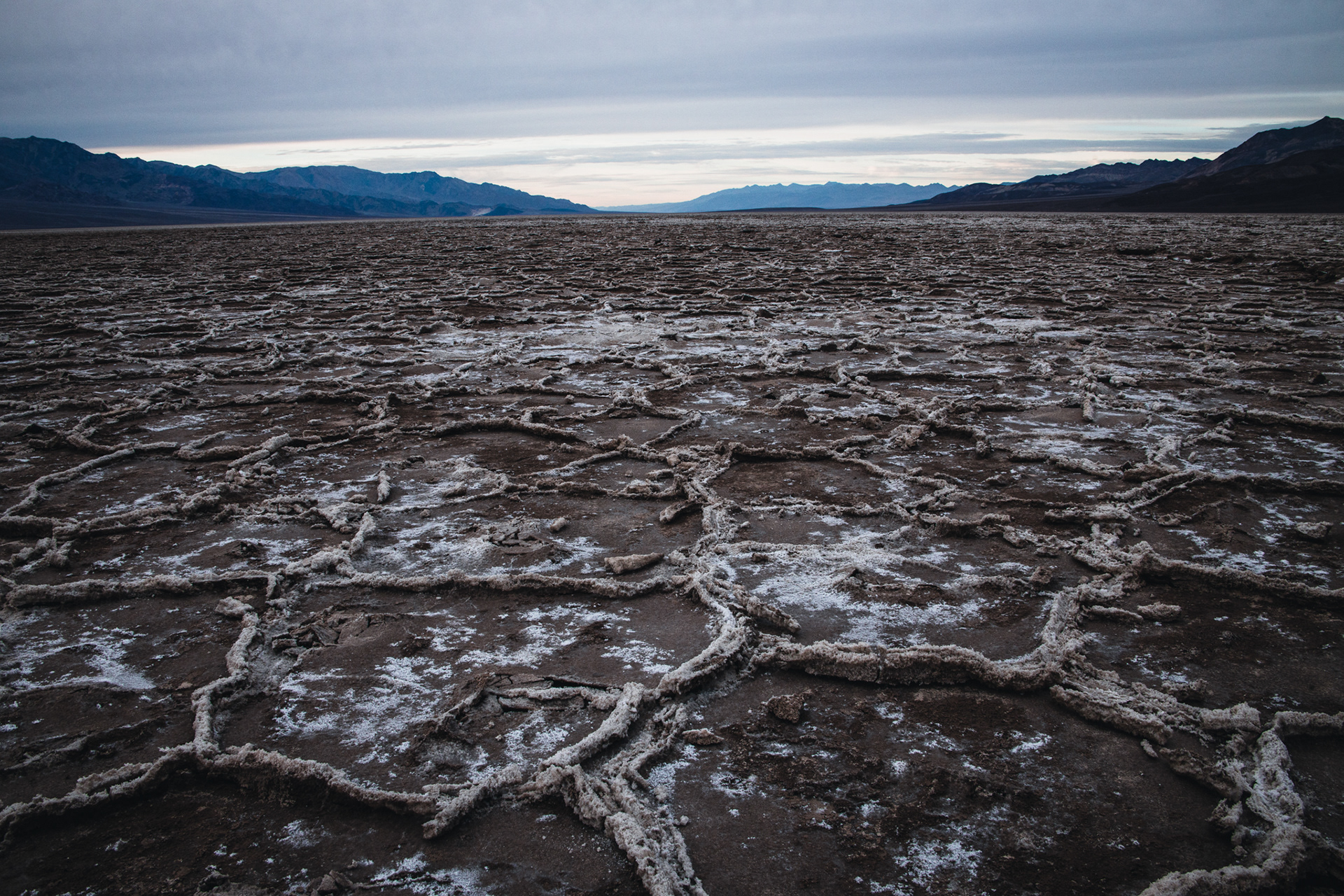
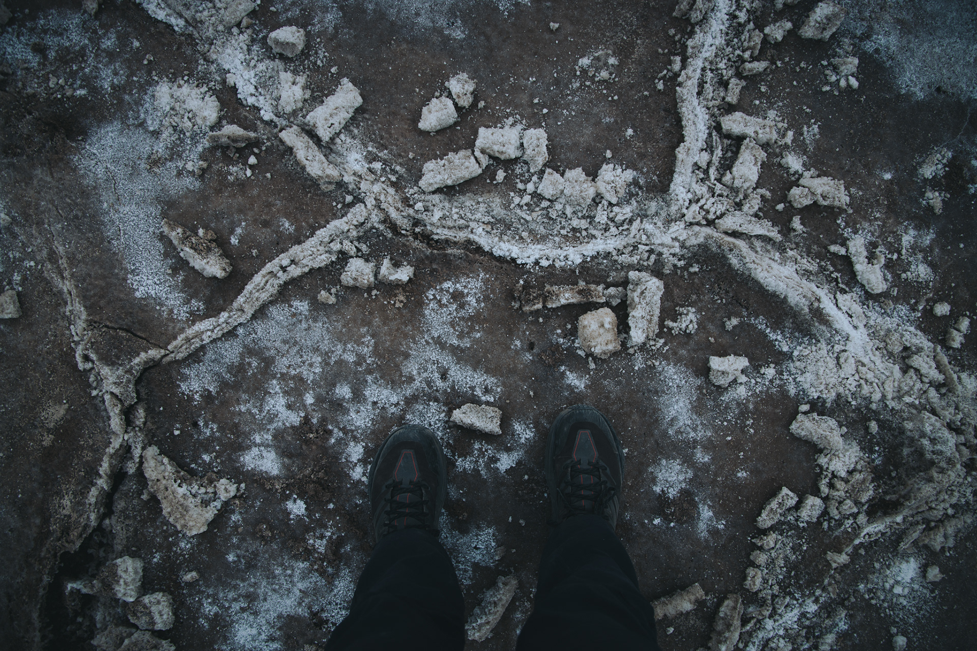
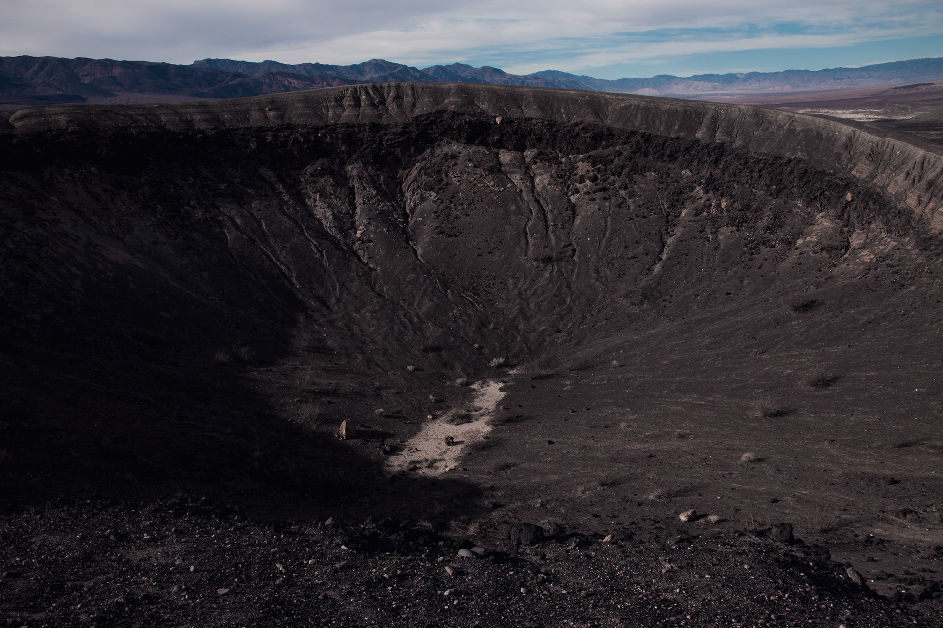
Located in the Mojave Desert, Death Valley is the lowest place in the Western Hemisphere, and one of the driest and hottest places on Earth. On average, it receives less than two inches of rain each year, and it holds the world record for the highest temperature ever recorded on the planet at 134°F. At 282 feet below sea level, Badwater Basin, the remains of a large salt lake that evaporated tens of thousands of years ago, is the lowest point in the valley. Its salt flats cover an enormous area of about 200 square miles, and are surrounded by mountain ranges that tower up to 11,000 feet above the valley floor. Nowhere else in the United States can you see such a dramatic vertical relief over such a close distance.
These ranges are just one in a series of many mountain ranges and valleys that make up the Basin and Range Geologic Province, an ecoregion that stretches from Utah to California, and Idaho to Mexico. The Basin and Range region was formed as the Earth's crust stretched from east to west, and the land between the ranges was literally stretched and pulled apart. Parts of the earth were forced upward, forming ranges, while other areas dropped, forming the basins or valleys, as is the case with Death Valley itself. In Death Valley, this process began about three million years ago, and still continues to this day.



JOSHUA TREE NATIONAL PARK, CALIFORNIA, USA
- LIFE ON A FAULT LINE -
Joshua Tree National Park is crisscrossed with hundreds of faults, with the San Andreas Fault (the junction between the Pacific and North American tectonic plates) bounding its southern side. Plate tectonics are responsible for the unique rock formations (called tors) that are found strewn across the park, which sits right on the edge of the North American Plate. Over 200 million years ago, the Farallon Plate (which lies under the Pacific Ocean), was forced underneath the North American Plate. The friction caused the rock underground to melt and form magma chambers. Over 100 million years ago, the magma cooled into a type of granite called monzogranite, and, while still beneath the Earth’s surface, began to crack, forming rectangular pieces. Above ground, the topsoil that covered the granite eventually eroded away, exposing the stone to the surface. As the rocks made their way to the surface, they settled into piles on top of each other, forming the mysterious, block-like rock towers we see here today.
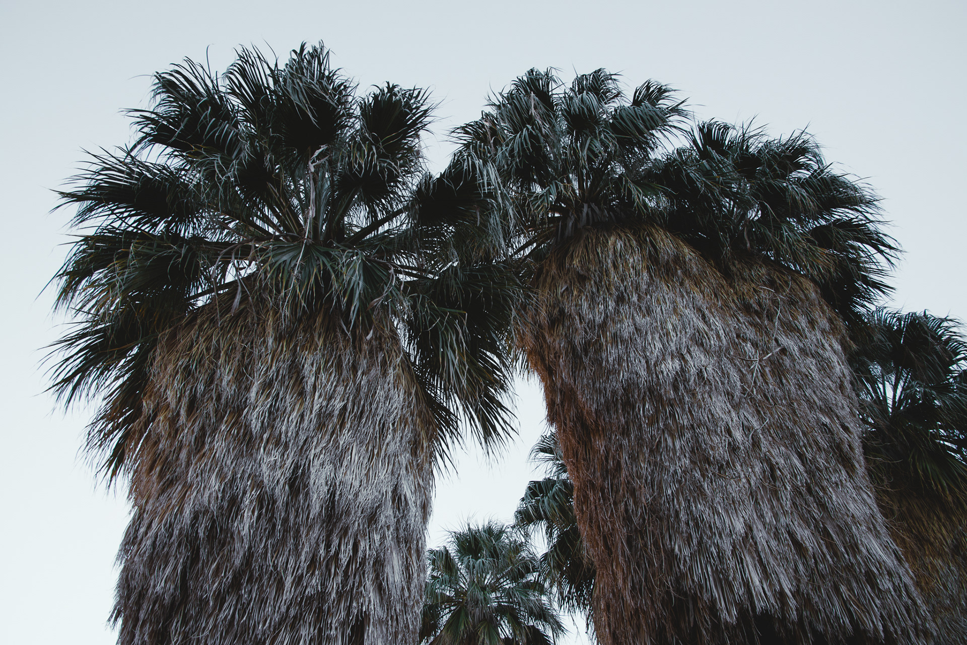
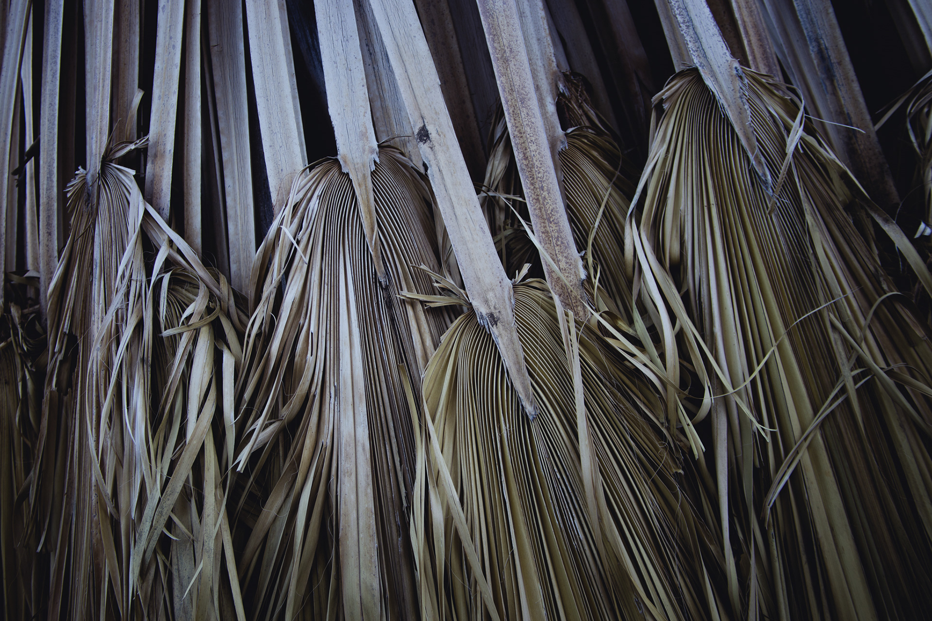
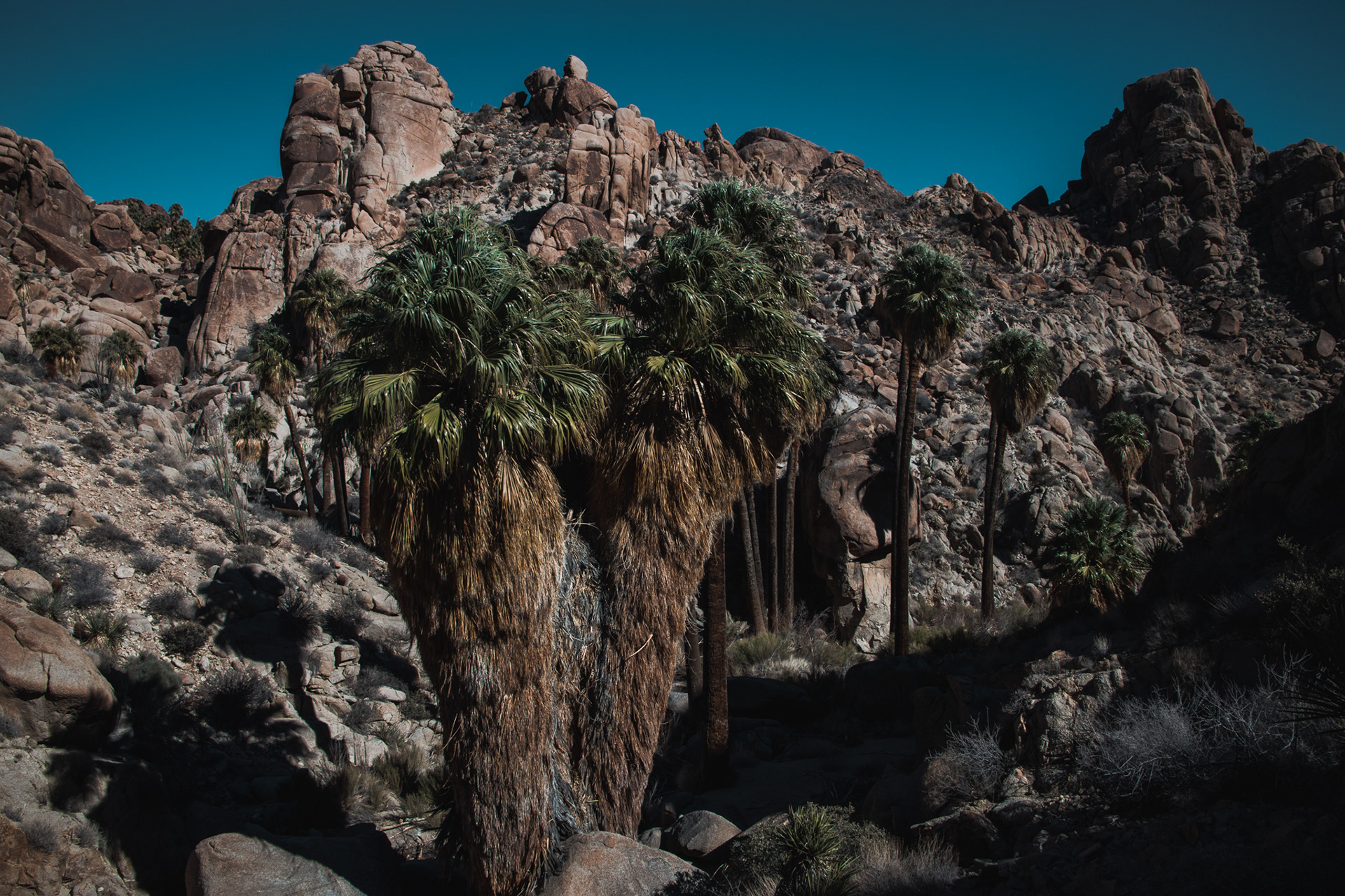
California Fan Palm is the only palm native to the western United States. Fan Palm oases often exist along fault lines, where movement on the fault breaks apart and shatters rock, forming areas of very fine rock particles. Water does not flow through these particles, so these zones form underground dams, forcing groundwater to rise, and forming a rare oasis in the desert. But water, in the form of flash floods, is also the most common cause of death for Fan Palms that live in these narrow canyons.


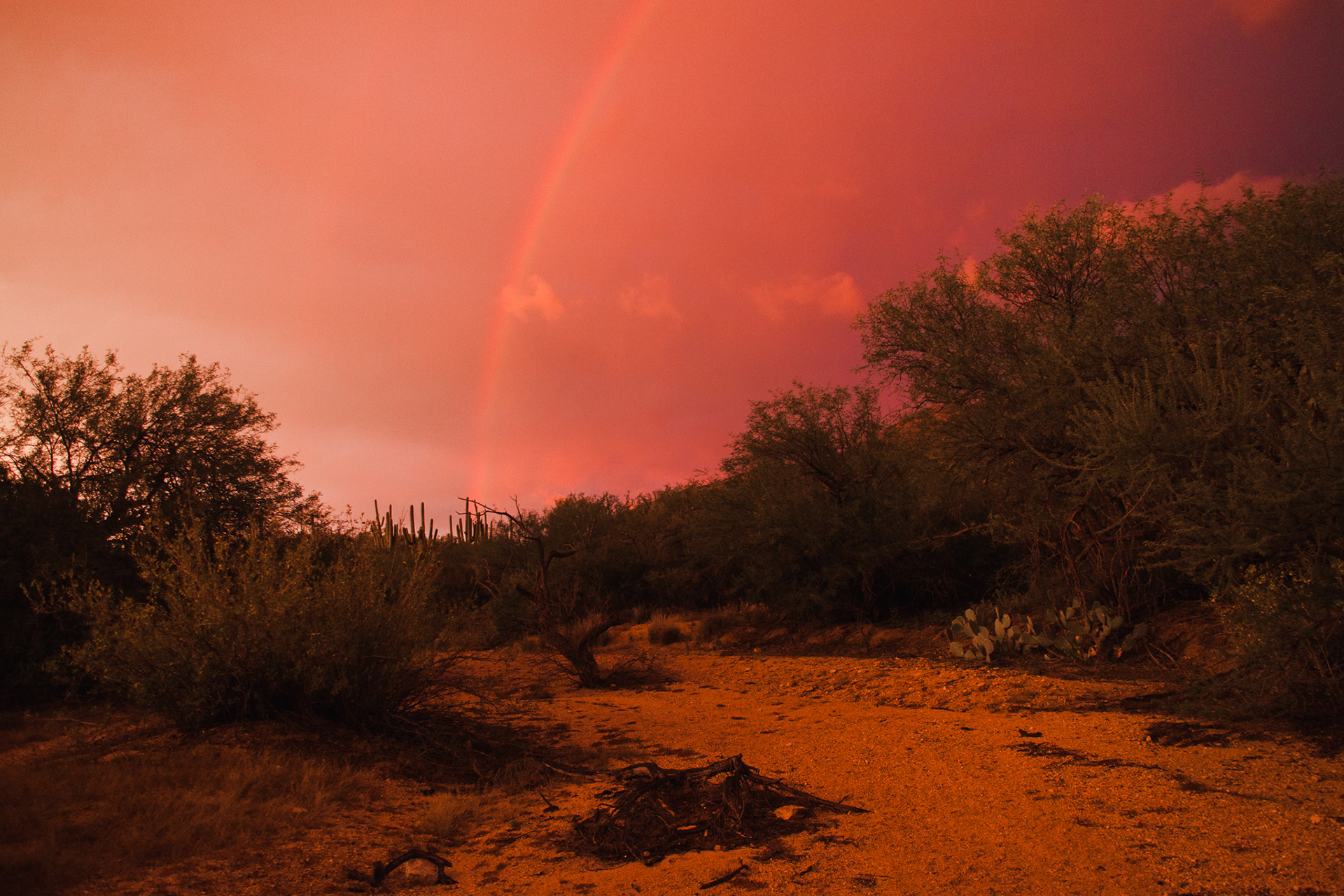
SAGUARO NATIONAL PARK, ARIZONA, USA
- THE LAND OF CACTI -
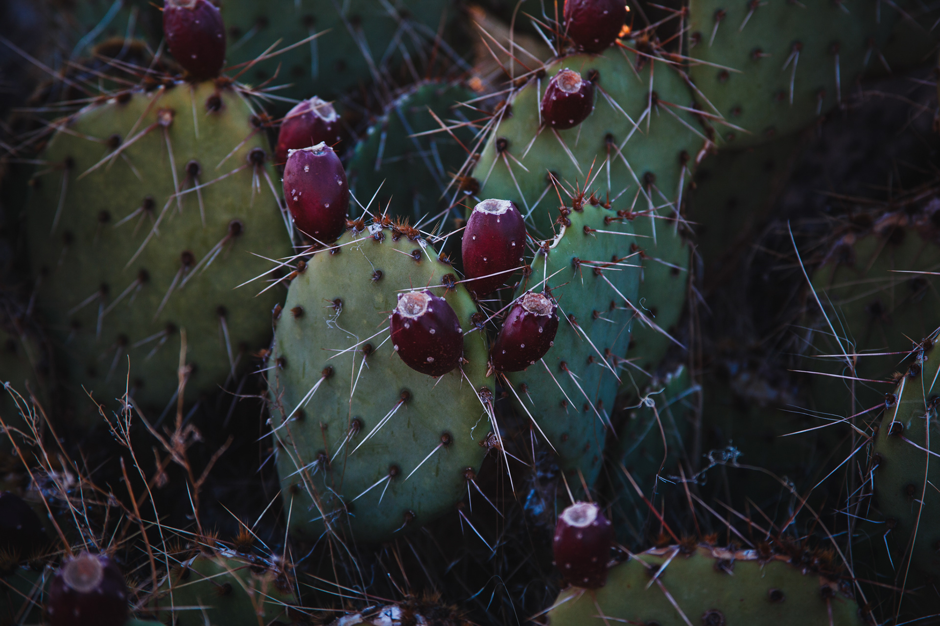
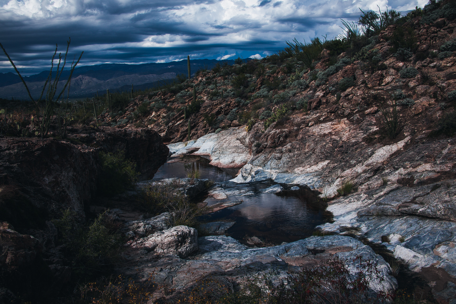
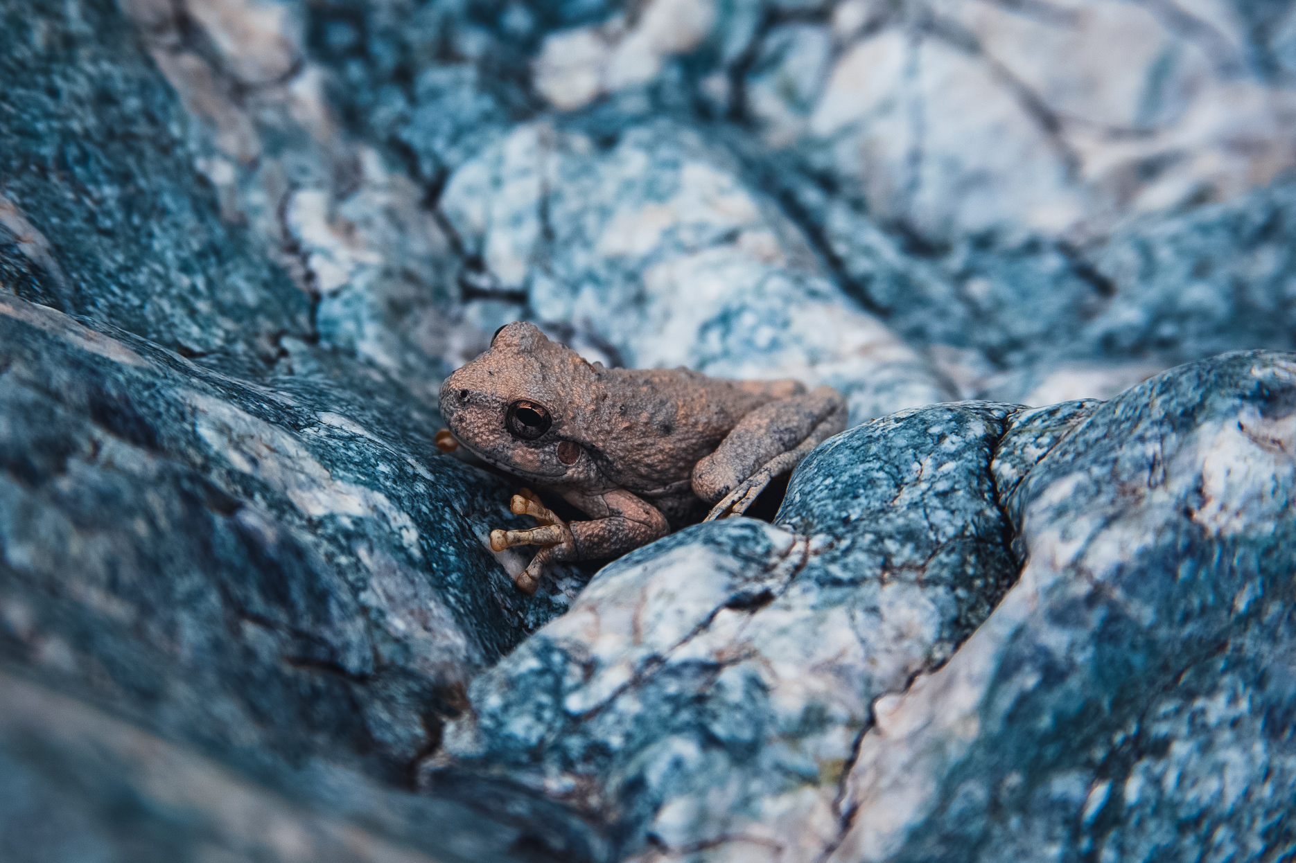
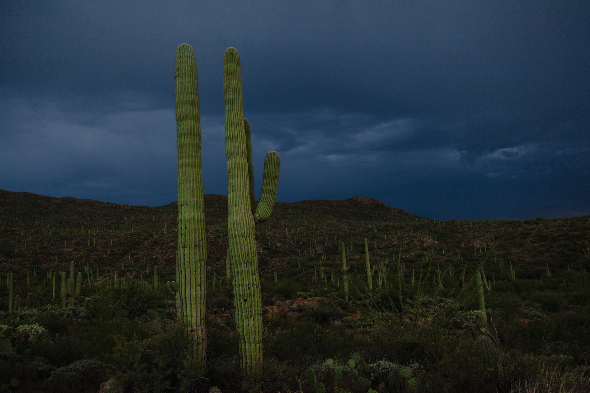
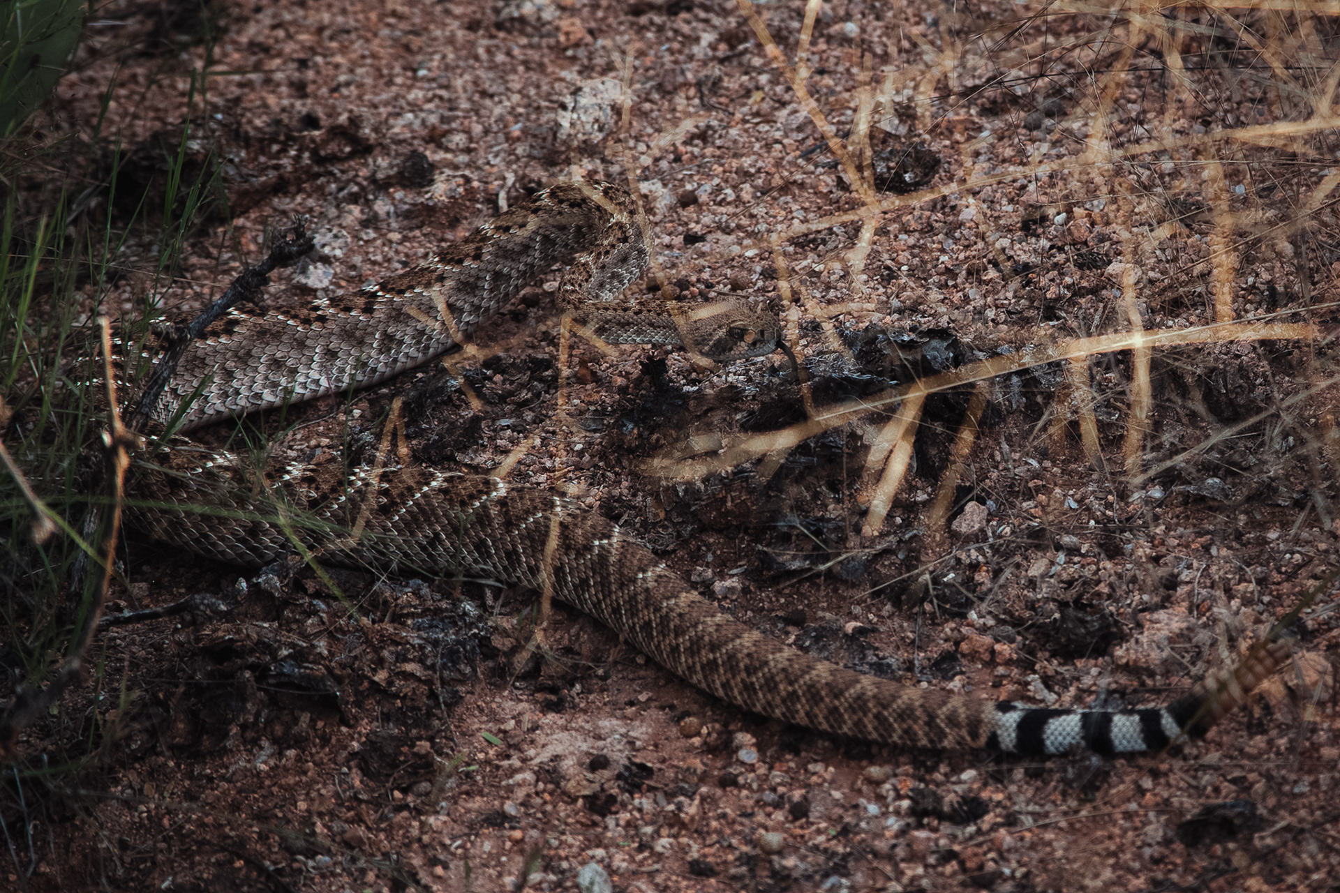
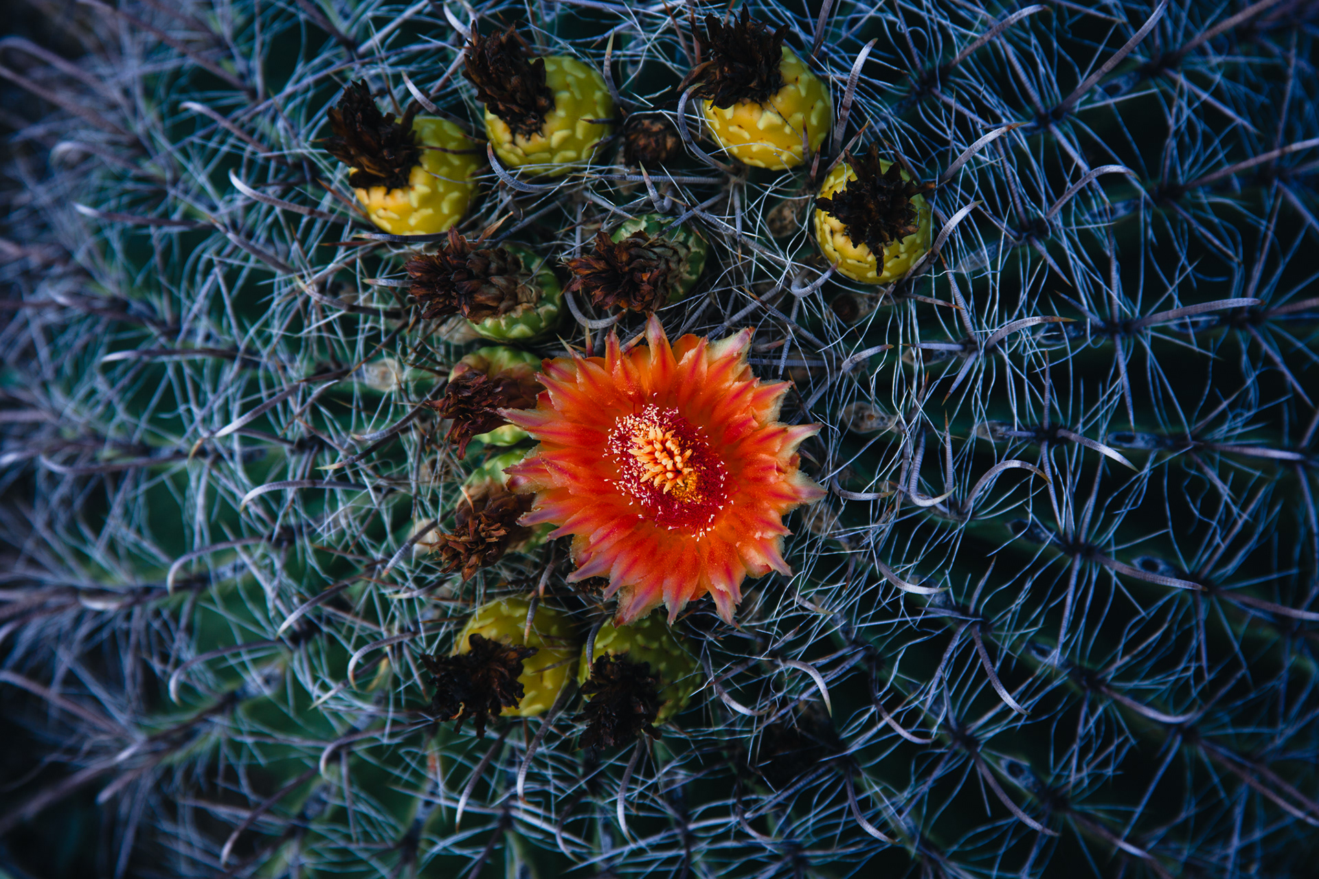
Located in the Sonoran Desert, Saguaro National Park derives its name from the profusion of the world's largest cactus species found within its boundaries. The tallest Saguaro Cactus ever recorded stood at an impressive 78 feet tall, and they can live for more than 150 years. Apart from the iconic Saguaro Cactus, the park is also home to approximately 25 other species of cacti, including various species of Barrel, Cholla, Prickly Pear, and Hedgehog Cacti.
GREAT SAND DUNES NATIONAL PARK AND PRESERVE, COLORADO, USA
- LAND OF SAND -
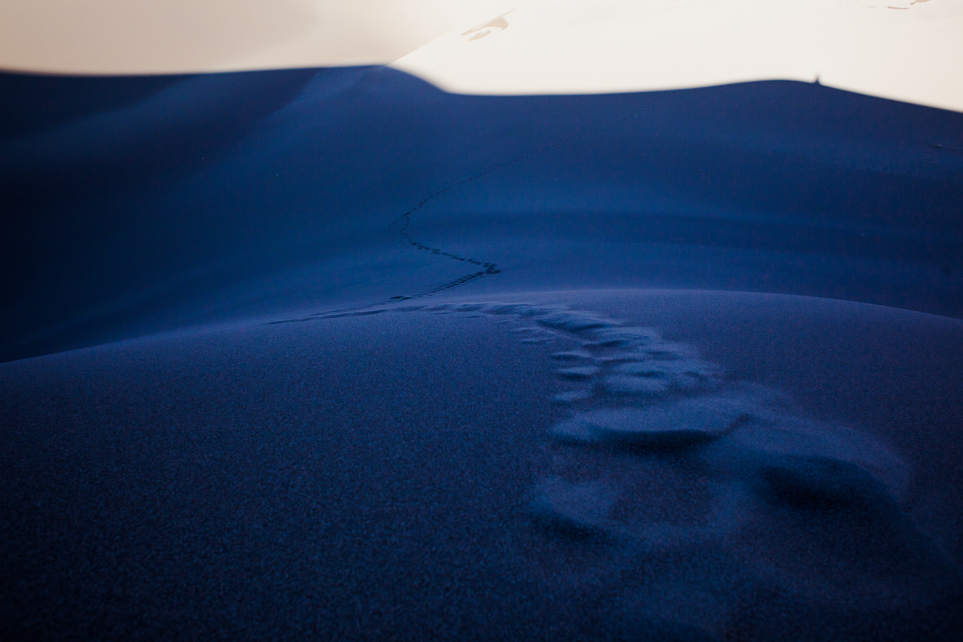
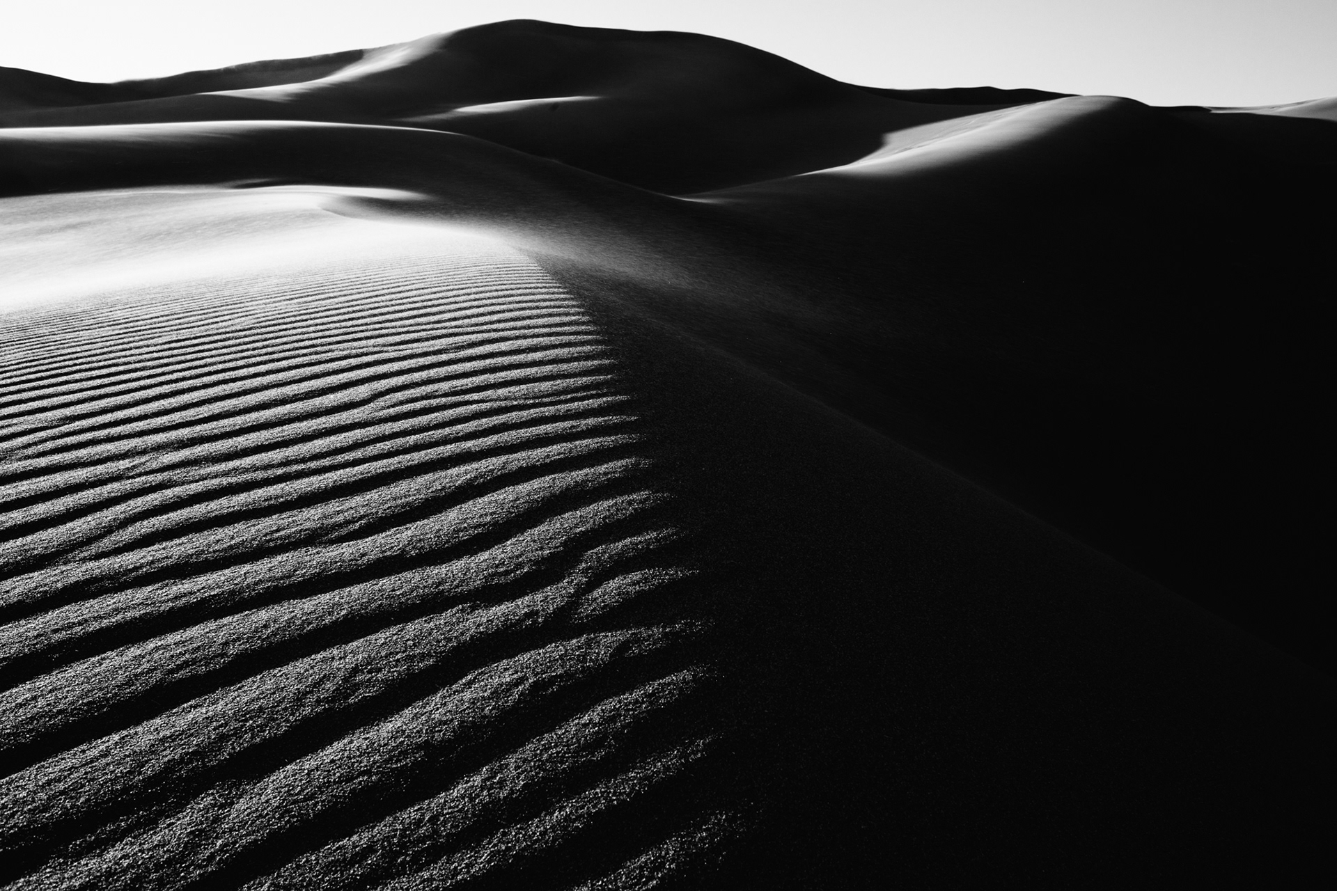
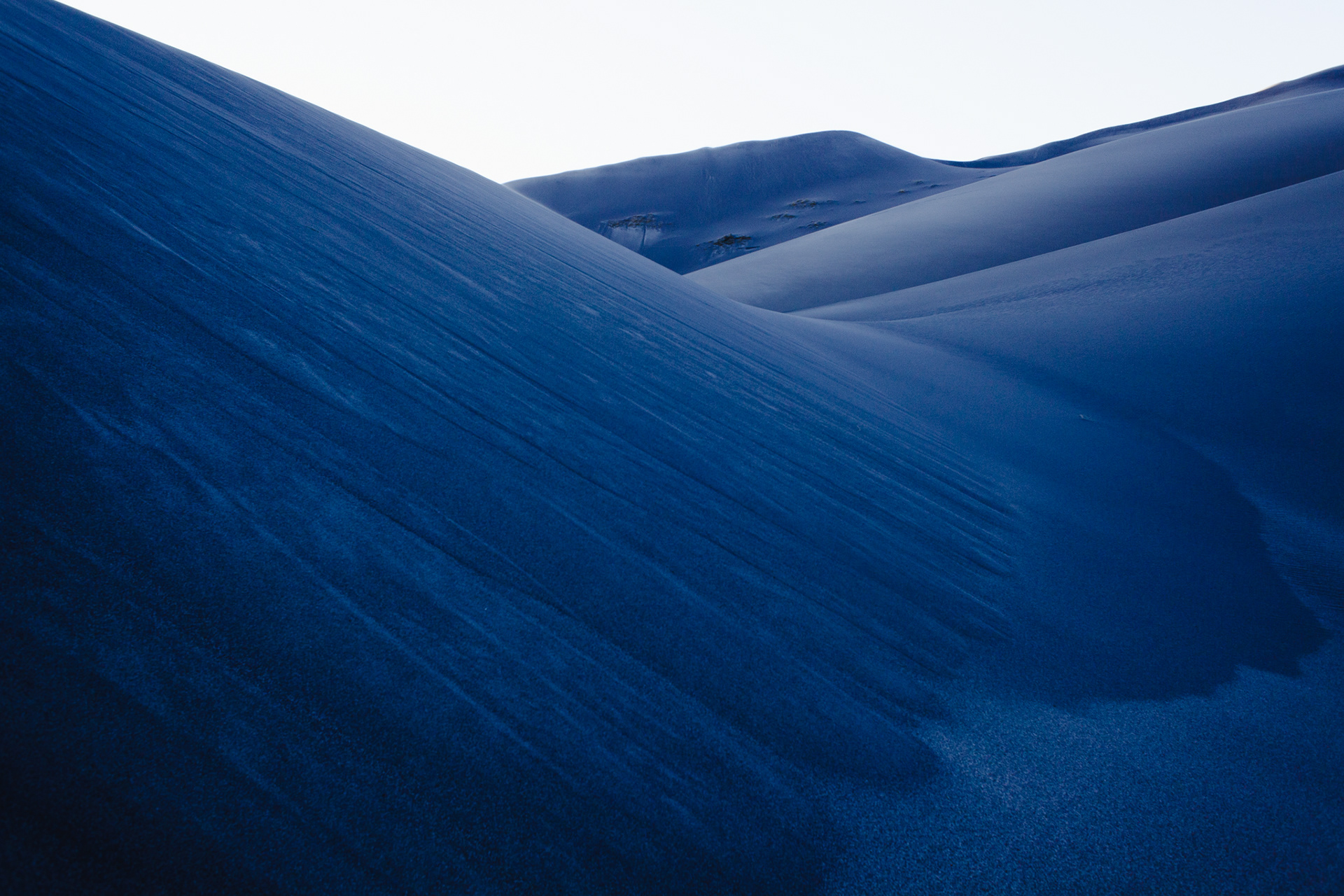
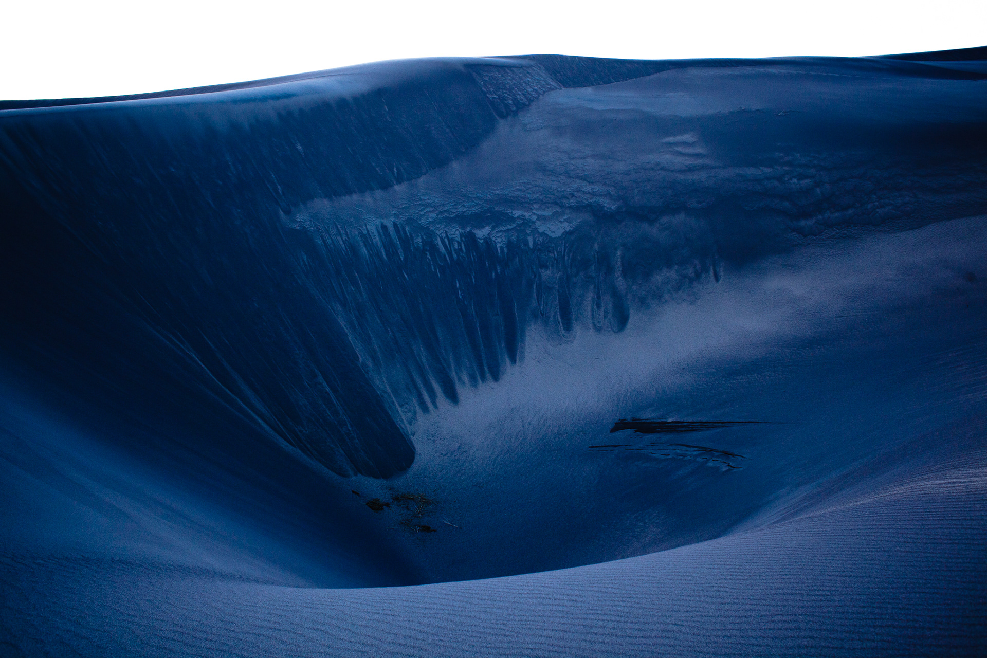
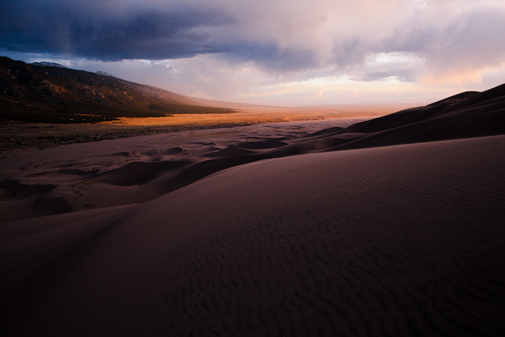
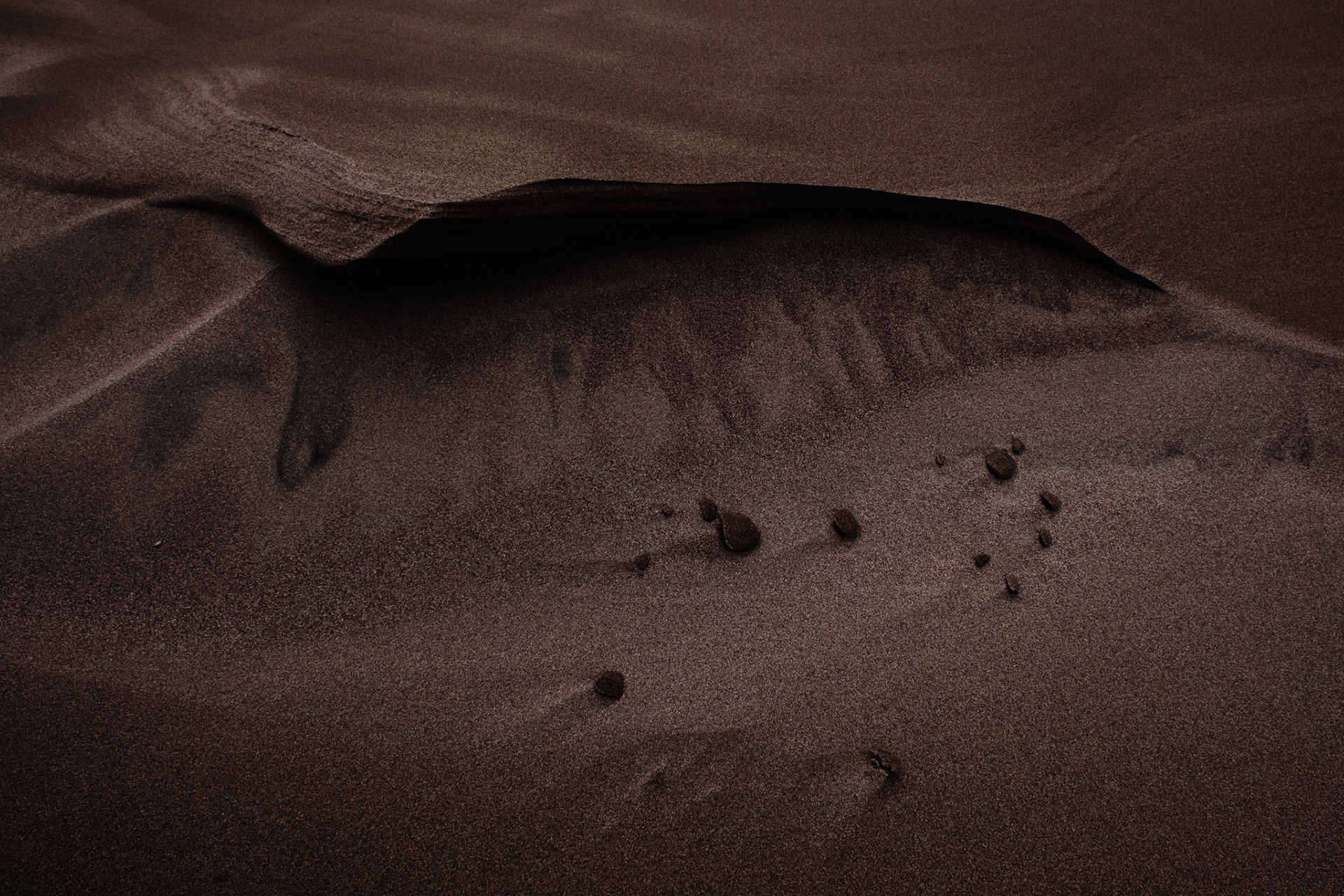
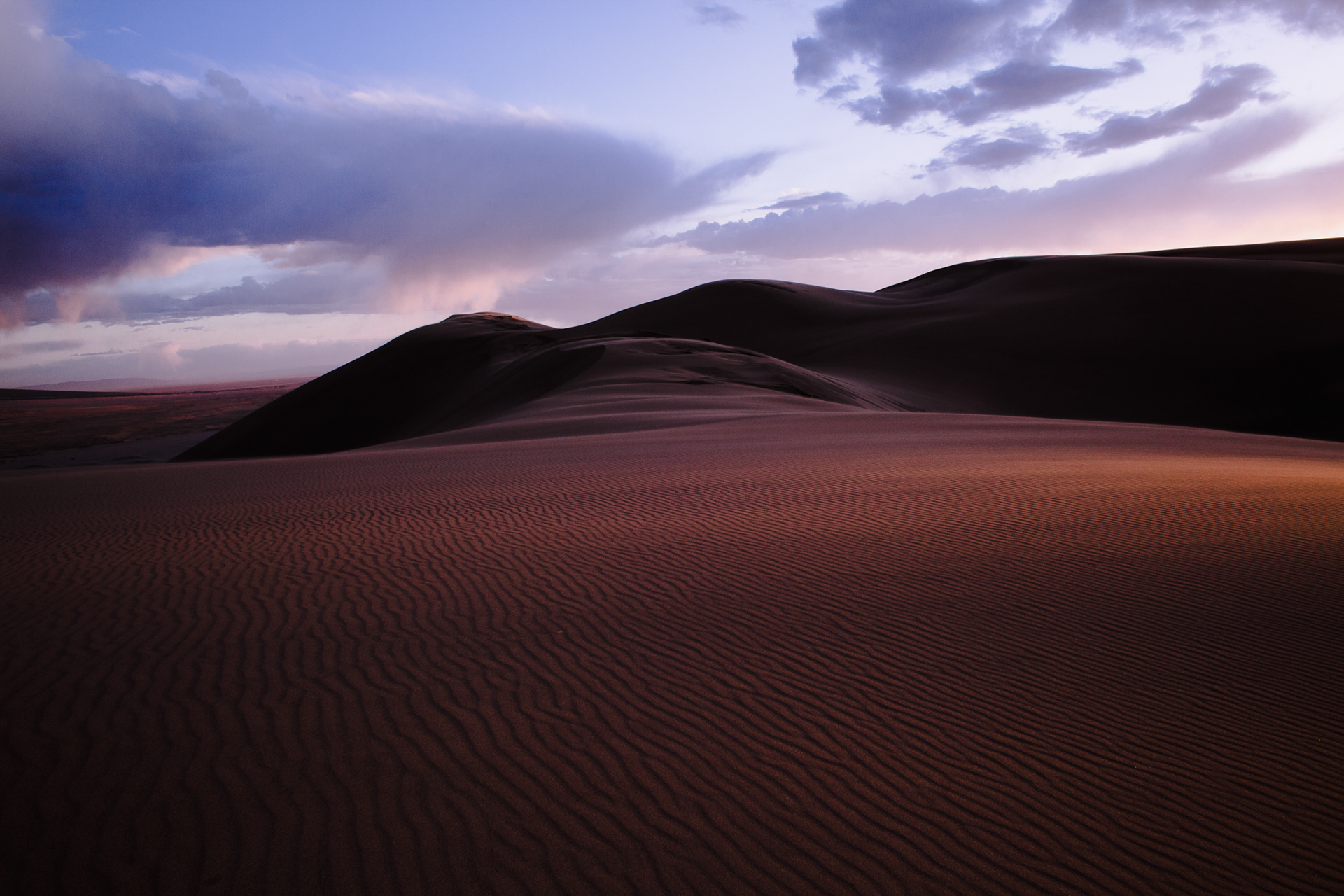
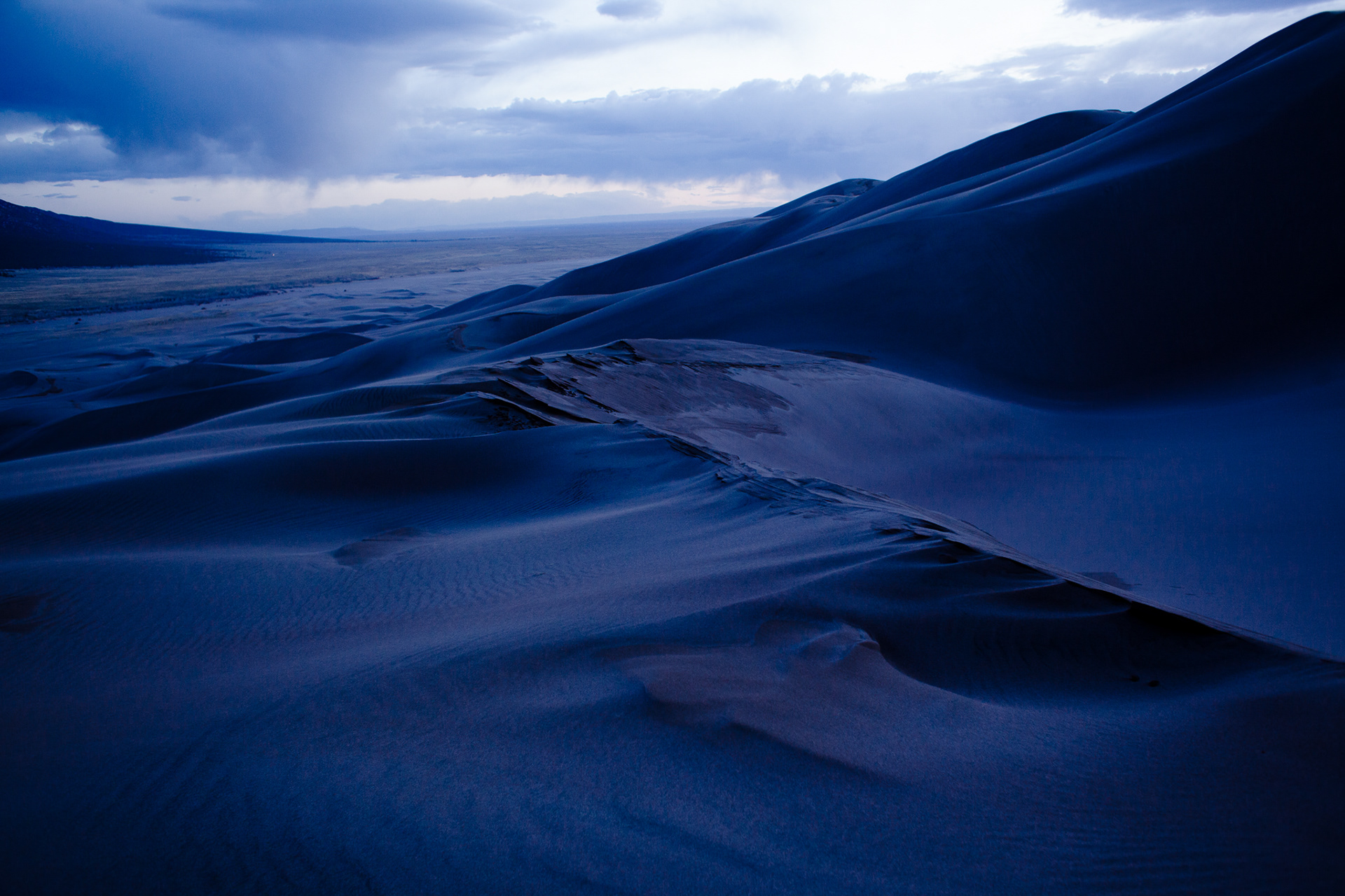
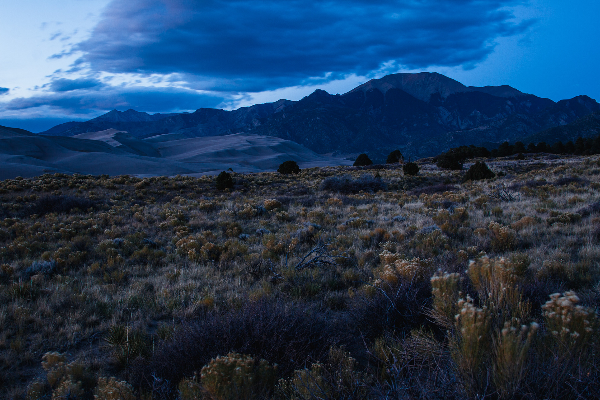
The tallest sand dunes in all of North America exist within the Great Sand Dunes National Park. Here, the dunes cover an area of about 30 square miles, and the tallest dune reaches a height of 750 feet. The dune field took millions of years to form. Over millions of years, weathering of the two mountain ranges that surround the San Luis Valley (where the dune field exists today), produced sediment and sand sized particles. This sediment was eventually carried down into the valley by prevailing winds and deposited at the base of the San de Cristo Range, in a process that took tens of thousands of years, and still continues to this day.



UTAH'S COLD DESERTS
- ZION, Grand Staircase–Escalante, BRYCE CANYON, CAPITOL REEF & CANYONLANDS -
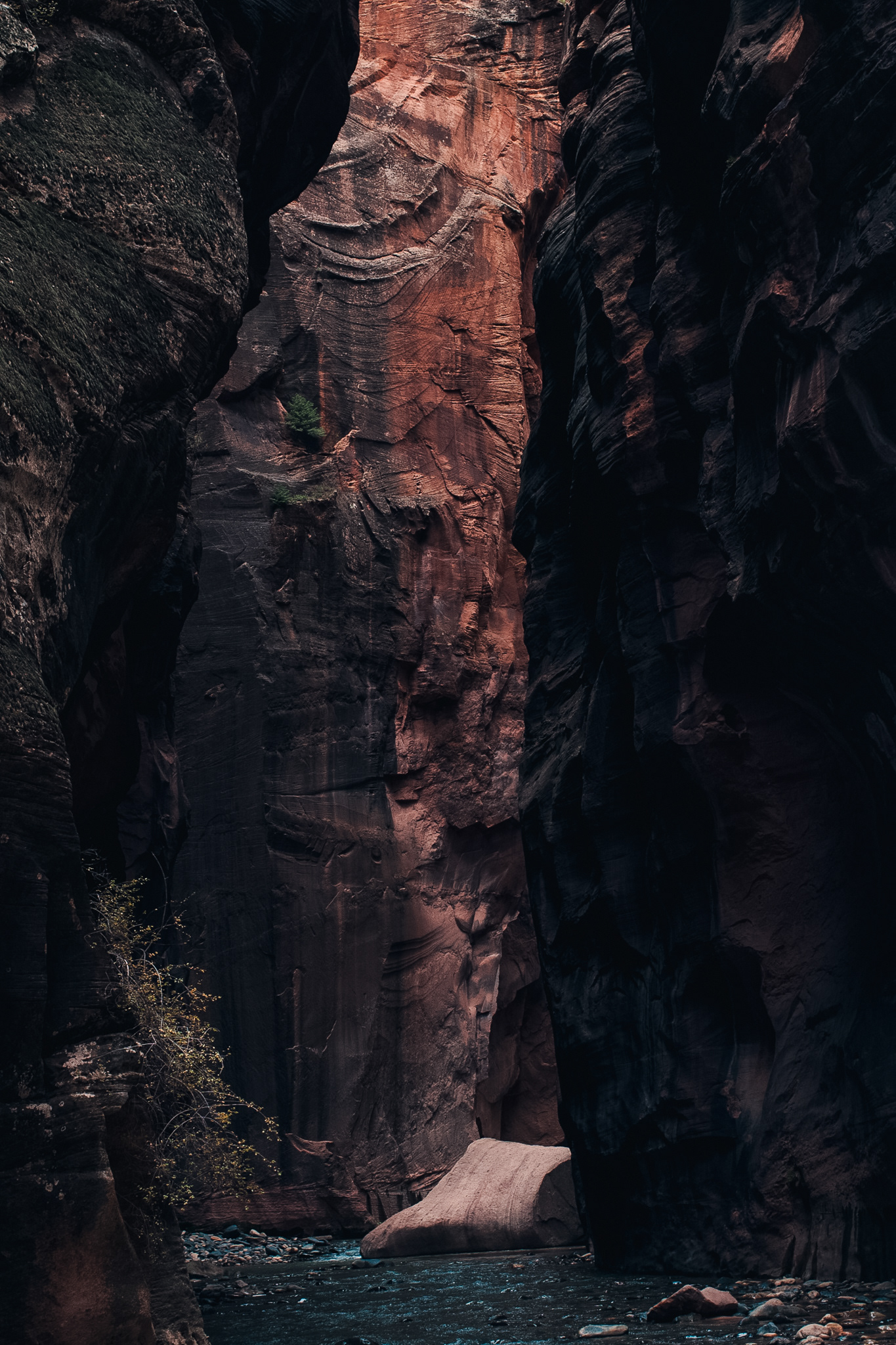
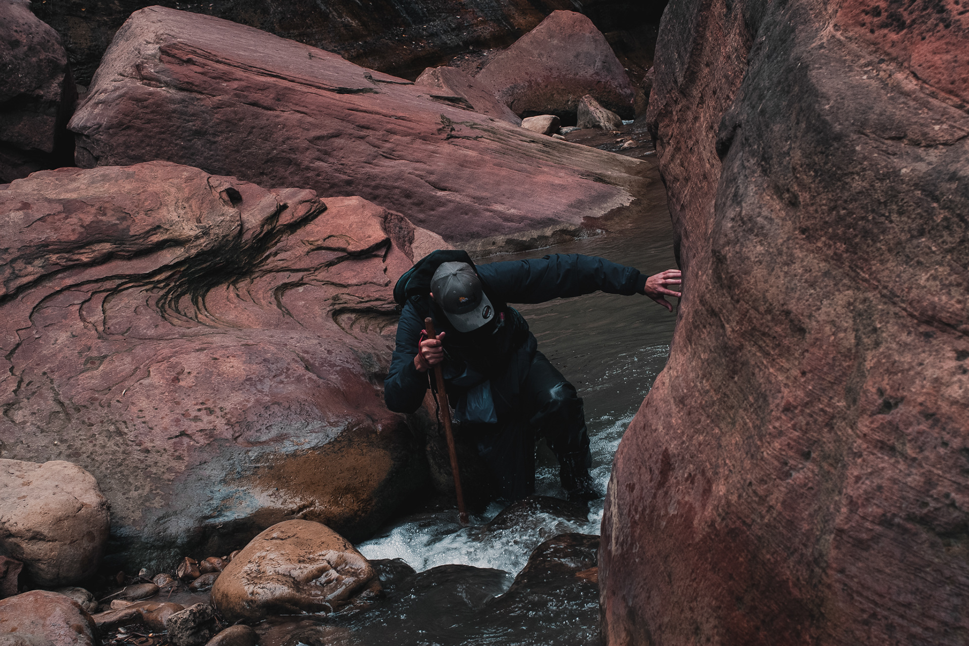
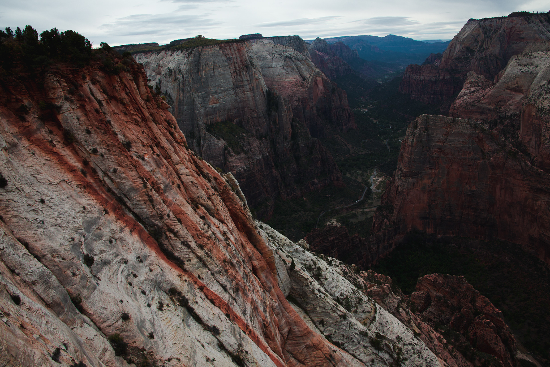
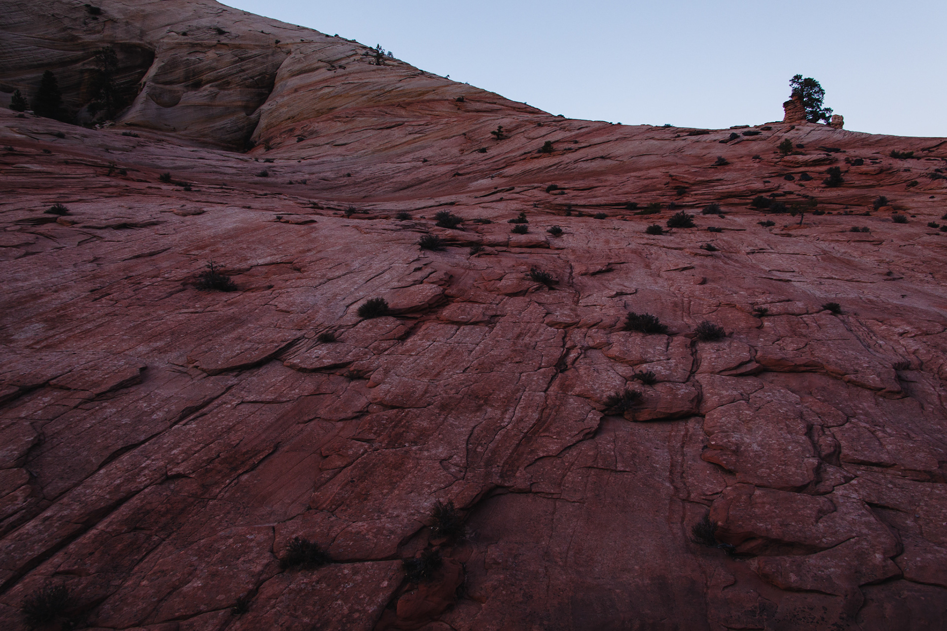
ZION - 240 million years ago, Zion National Park existed as a relatively flat basin with an elevation close to sea level. Approximately 50 million years ago, the land began to uplift, and Zion gradually rose about 10,000 feet. The rock here has been not only uplifted, but also tilted and eroded, and is part of an extraordinary geographic feature known as the Grand Staircase, a series of colorful rock layers in an area spanning from the Grand Canyon to Zion to Bryce Canyon. During a process that took millions of years, the Virgin River then carved away the sedimentary rock to form Zion Canyon; today, the canyon reaches a maximum depth of 2,640 feet.
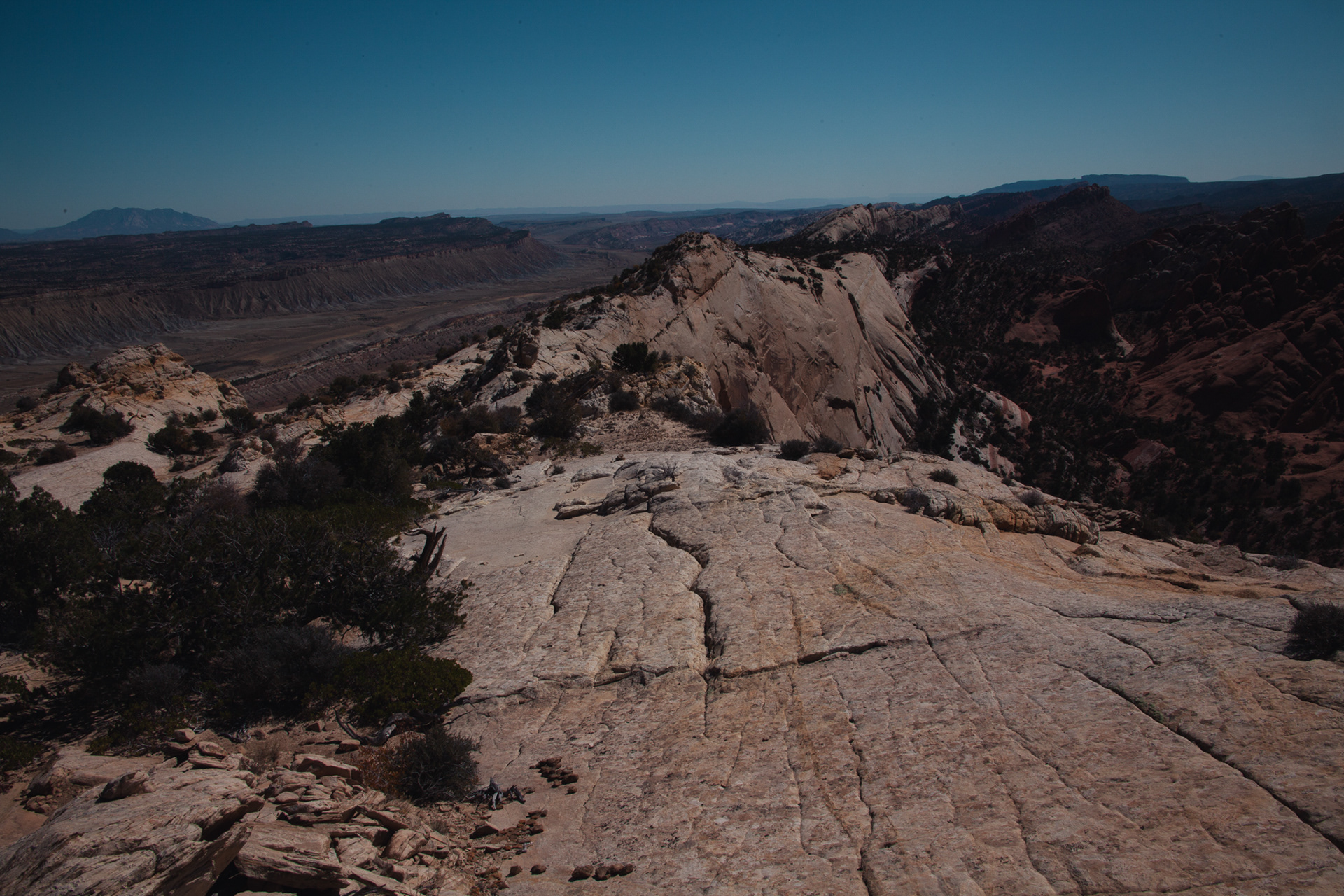
GRAND STAIRCASE-ESCALANTE - Located on the Colorado Plateau, the Grand Staircase is an astonishing geologic feature of unparalleled awe and wonder. Each “step” of the staircase is comprised of a different layer of sedimentary rock, and the rock layers found here reveal nearly 275 million years of geologic history - more of Earth’s continuous geologic history than any other place on the planet. Stretching from the Grand Canyon, to Bryce Canyon, a series of topographic benches, cliffs, terraces, and plateaus step progressively up in elevation from south to north to form the “staircase.” Nearly 20 different rock layers or formations have been identified here, with the oldest being found at the Grand Canyon and dating back 250 million years, and the youngest layer dating around 60 million years.
Approximately 50 million years ago, the Colorado Plateau was pushed upwards and tilted by tectonic forces, yet its many rock layers remained structurally sound and unbroken by faults or fractures, which is somewhat rare in geology. Rivers, including the Colorado River, and wind, then began their slow process of erosion, and eventually left behind the canyons, benches, and terraces that make up the Grand Staircase we see today.
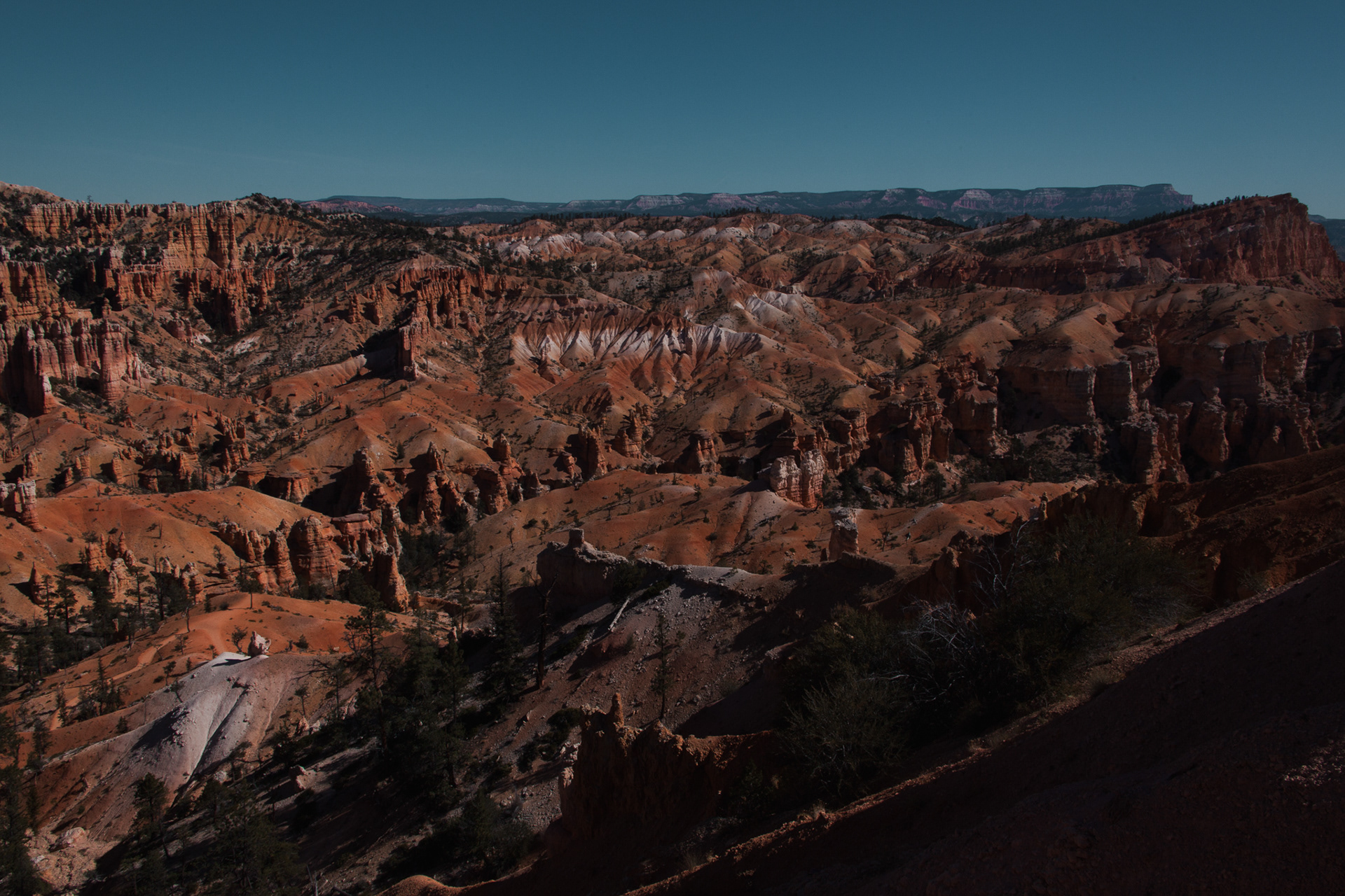
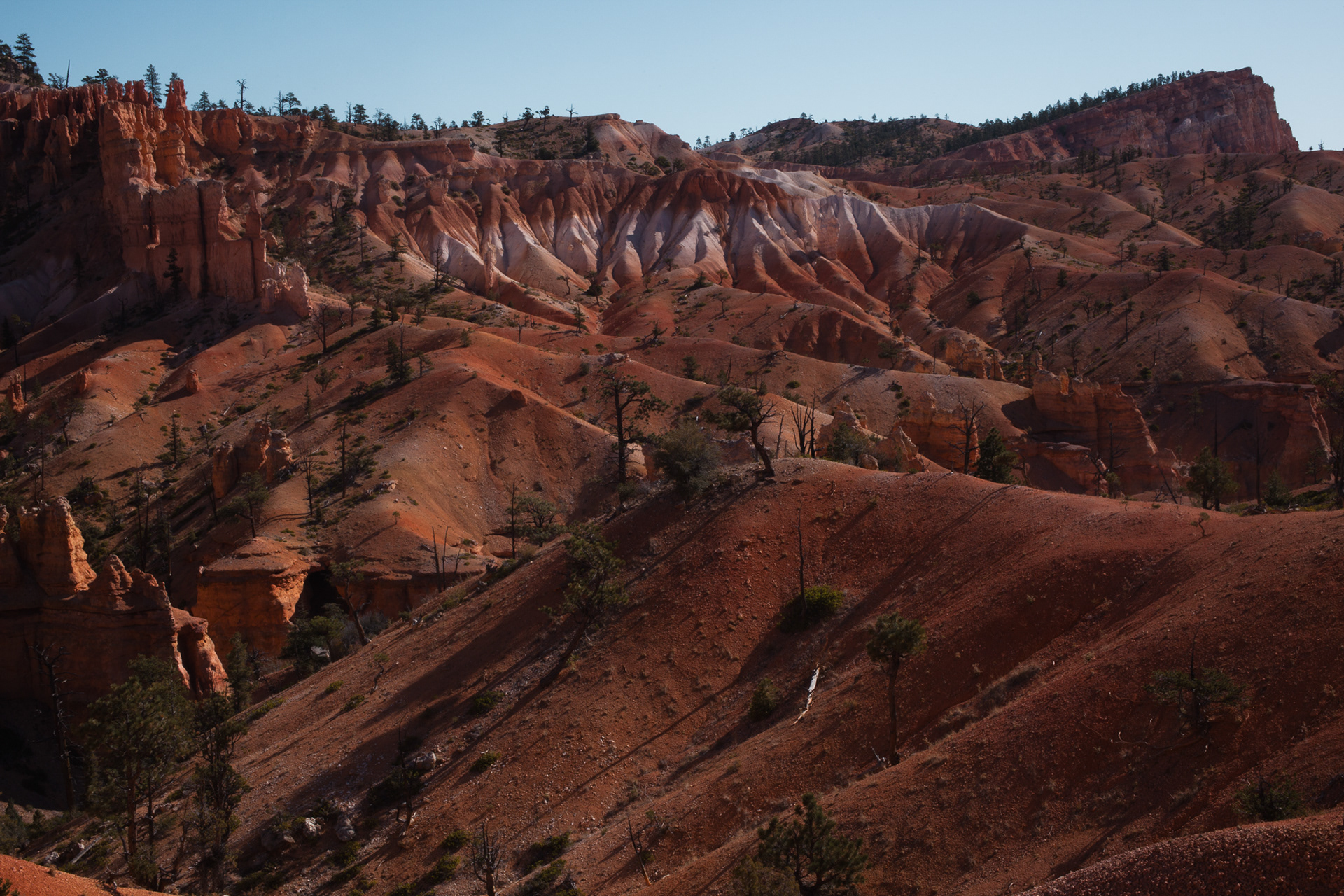
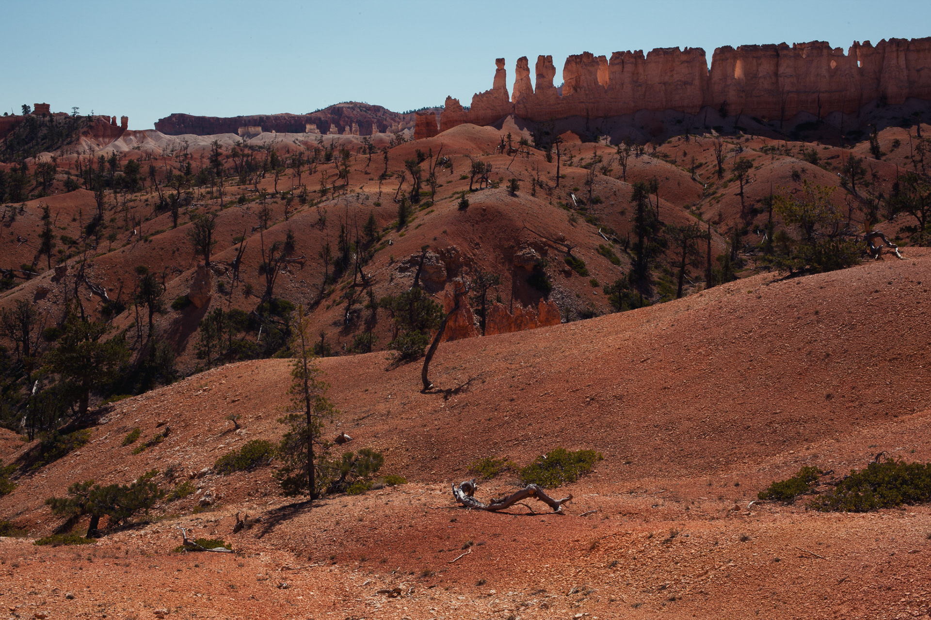
BRYCE CANYON - Most of the rock formations at Bryce Canyon consist of the 60 million year old sandstone that comprises the Pink Cliffs - the youngest rock layer found in the Grand Staircase. The canyon's most notable features are the strange pillars of sandstone called hoodoos, which are formed by the processes of weathering and erosion. For over half the year, the canyon experiences both above and below freezing temperatures, which allows ice and rain to shape the hoodoos. First, water infiltrates the spaces between and within the sandstone, and upon temperature drops, the water trapped within the rock freezes and expands. This expansion, known as ice wedging, initiates the breakdown of the rock, first into walls, then windows, and then finally into a fully formed hoodoo - a process that can take thousands, if not millions, of years.
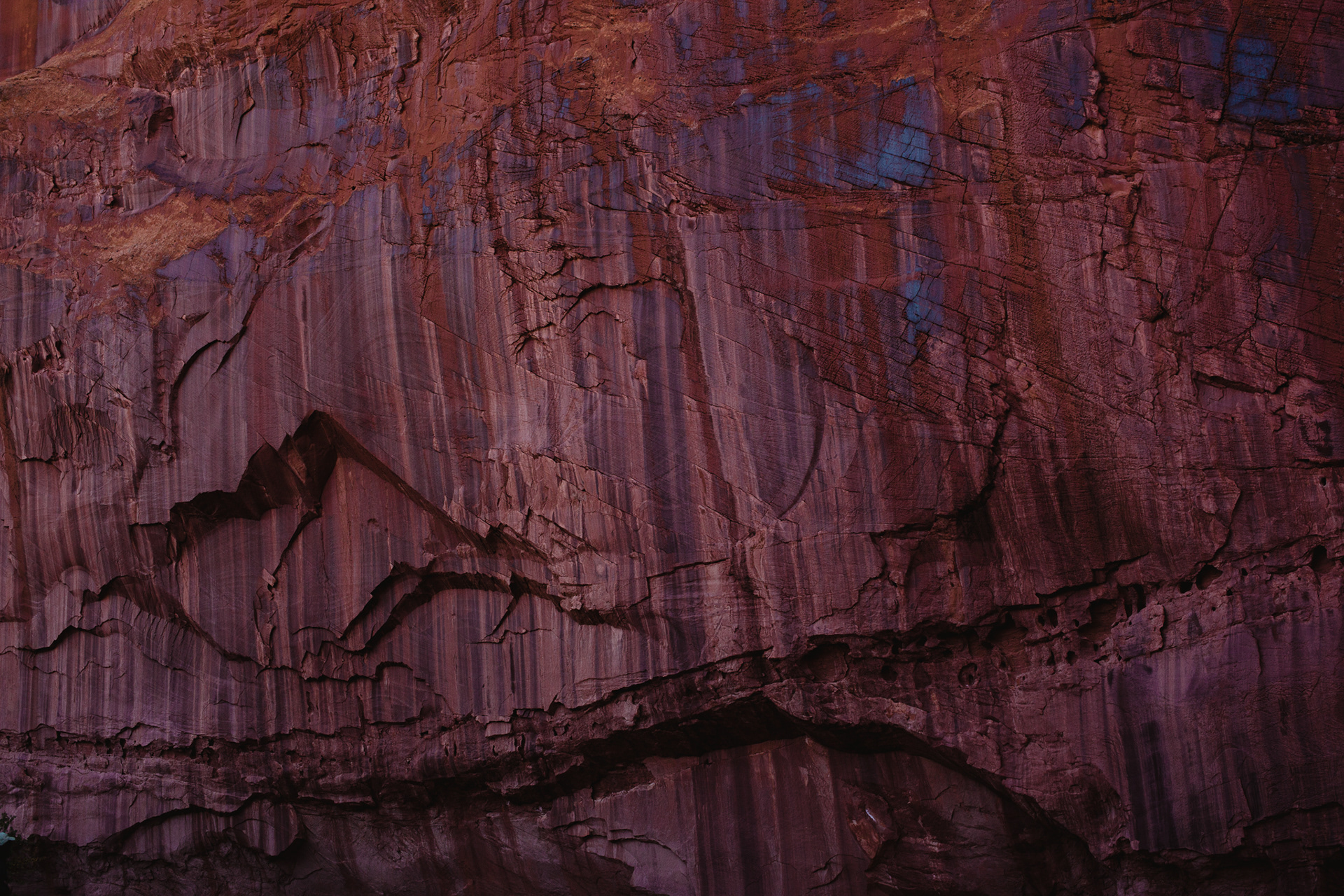
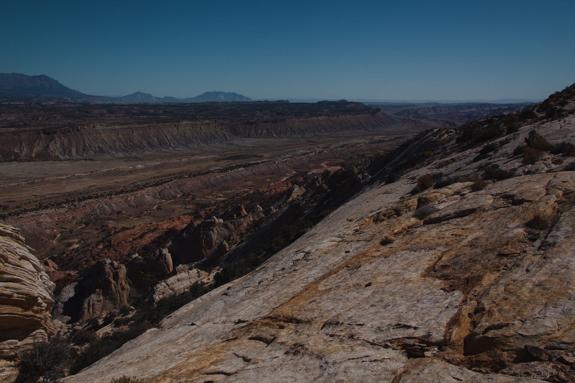
CAPITOL REEF - Along with the rest of Utah’s Colorado Plateau, Capitol Reef National Park was also uplifted and tilted by tectonic forces millions of years ago. However, unlike the Grand Staircase, whose rock layers rose relatively evenly, at Capitol Reef a monocline was formed during the uplift. This monocline - the largest monocline in North America - can be thought of as a 90 mile long “wrinkle” or “warp” in the Earth’s crust. Due to its rock layers being folded and tilted, 19 different rock layers can be seen in the monocline in a continuous sequence of nearly 200 million years of geologic history.
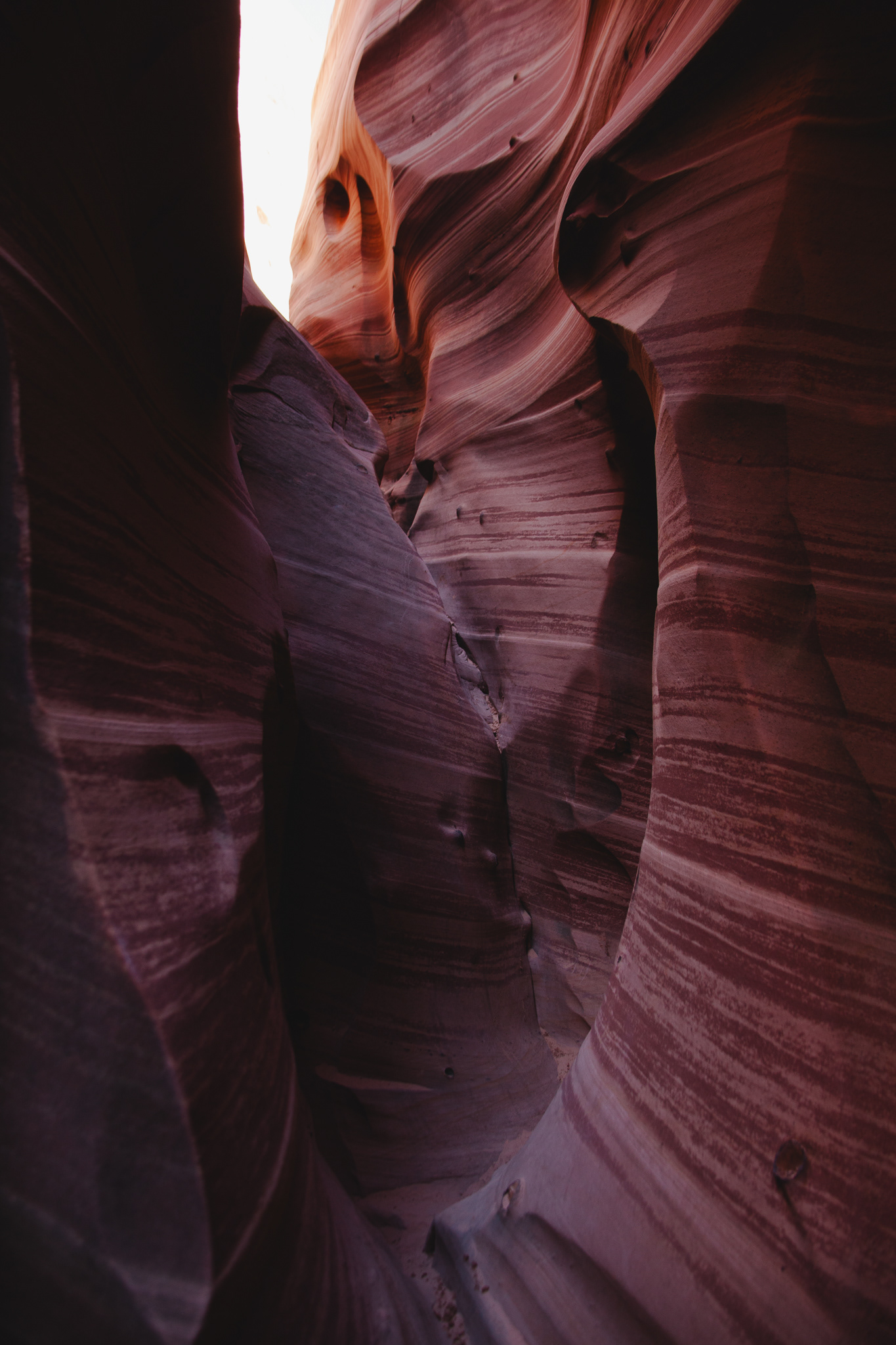
CANYONLANDS - Canyonlands National Park, along with the rest of Utah, also exists on the Colorado Plateau, and was uplifted sometime around 20 million years ago. Millions of years of water erosion from the Colorado and Green Rivers and also heavy rainstorms have since formed the many canyons and unique rock formations found within Canyonlands today. Like much of the Colorado Plateau, this area is also made up primarily of sedimentary rock, whose distinct layers took millions of years to form.
